Advertisements

Indigenous communities use cutting-edge drone technology to save atlantic salmon from climate change
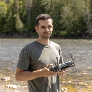
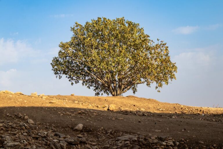
In Quebec’s Gaspésie region, Indigenous river guardians are fighting an urgent battle against time and rising temperatures to protect Atlantic salmon populations that have sustained their communities for millennia. The Mi’gmaq Wolastoqey Indigenous Fisheries Management Association, representing three First Nations, has deployed an innovative drone-mapping program equipped with thermal-infrared cameras to identify and preserve critical cold-water refuges before they vanish due to climate change.
The high-tech approach creates detailed, color-coded temperature maps of entire river systems, revealing precious cold pockets where salmon can survive increasingly hostile conditions. Atlantic salmon thrive in temperatures between 12-17°C (53.6-62.6°F), but face heat stress at 20°C (68°F) and potentially lethal conditions at 25-28°C (77-82°F). Stephen Jerome, a Mi’kmaq elder from Gesgapegiag, has witnessed the devastating combination of overfishing and climate impacts firsthand, noting how recent droughts have caused essential deep refuge pools to shrink or disappear entirely.
The urgency of this conservation effort becomes clear when considering the alarming temperature trends: Quebec rivers are warming by 0.7-0.9°C per decade, with climate models projecting an additional 3.2°C increase by 2100 under high greenhouse gas emission scenarios. This traditional knowledge combined with modern technology represents a powerful approach to species conservation, as Indigenous communities leverage both ancestral wisdom and cutting-edge tools to protect the salmon populations that have been central to their culture and survival for thousands of years.
Advertisements
This article was written by the EnviroLink Editors as a summary of an article from: Mongabay